Detour Nicosia (from A street to street A)
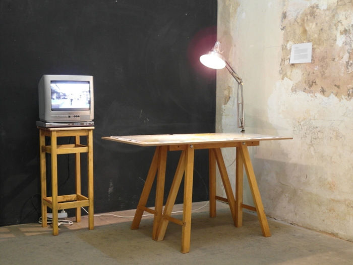

2015, Installation, Dimensions Variable
Video on monitor (33′33”), city maps, plexiglas, desk lamp, wooden bases
Video documentation: Selda Asal
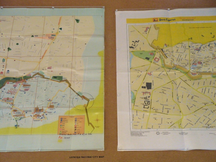
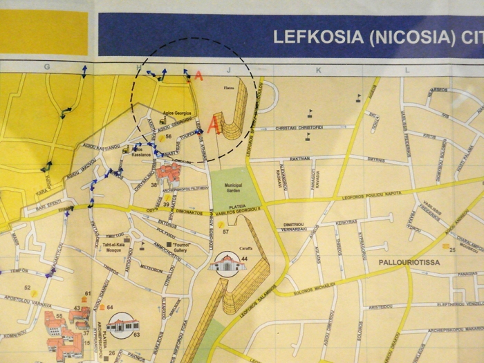
There are two official maps of Nicosia. Each one is distinctly produced and widely distributed by the authorities of each side of the divided island. An attempt to combine these maps by cutting and pasting them together reveals slight but significant differences in representation of scale, framing and perspective. These features render them seemingly incompatible and problematize their function as tools indicating possibilities of mobility within the physical space they represent.
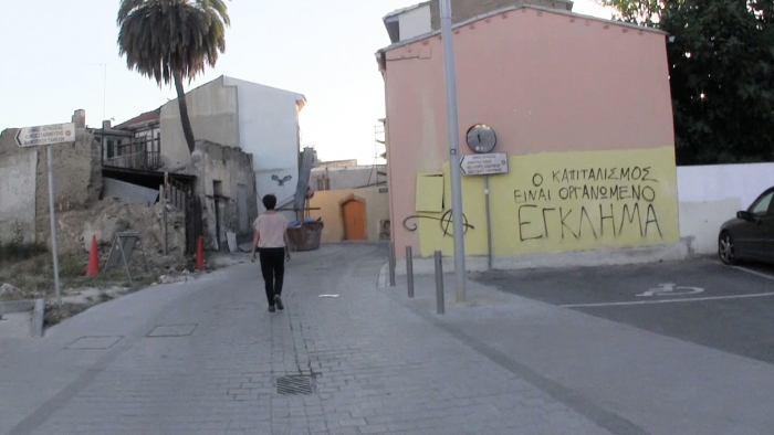
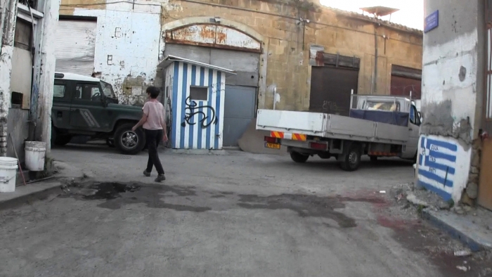
Searching for alternative geographies to those in conflict in Nicosia and its maps led me to explore the detour as a process for renegotiating movement circulation in the city. I make a collage of the two Nicosia maps and trace a number of routes that would allow me to connect the streets divided by the “dead zone”, which cuts through the city. After tracing these routes on the hybrid map, I test their viability by attempting a walk, a detour. Starting from ‘A’ street in the south part of the city, I walk to street ‘A’, what I estimate is its respective extension in the north.
Detour Nicosia (from A street to street A)
2015, Installation, Dimensions Variable
Video on monitor (33′33”), city maps, plexiglas, desk lamp, wooden bases
Video documentation: Selda Asal